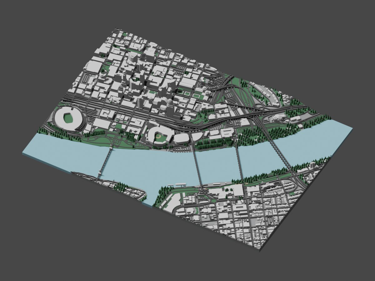
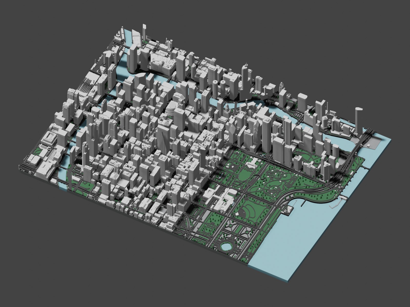
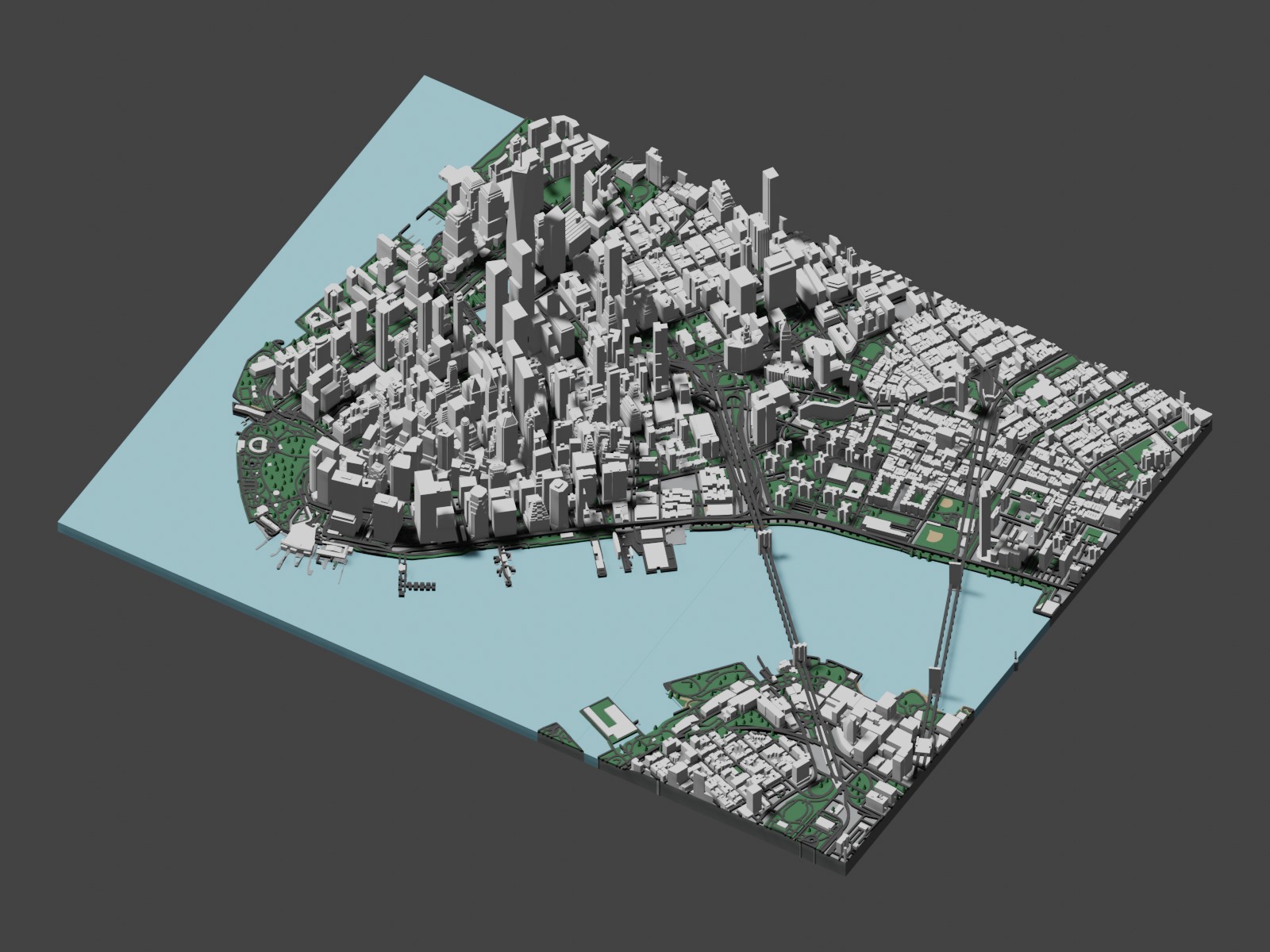
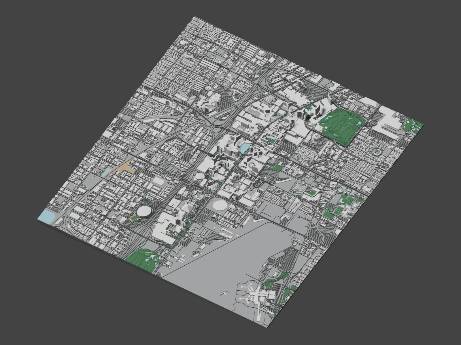
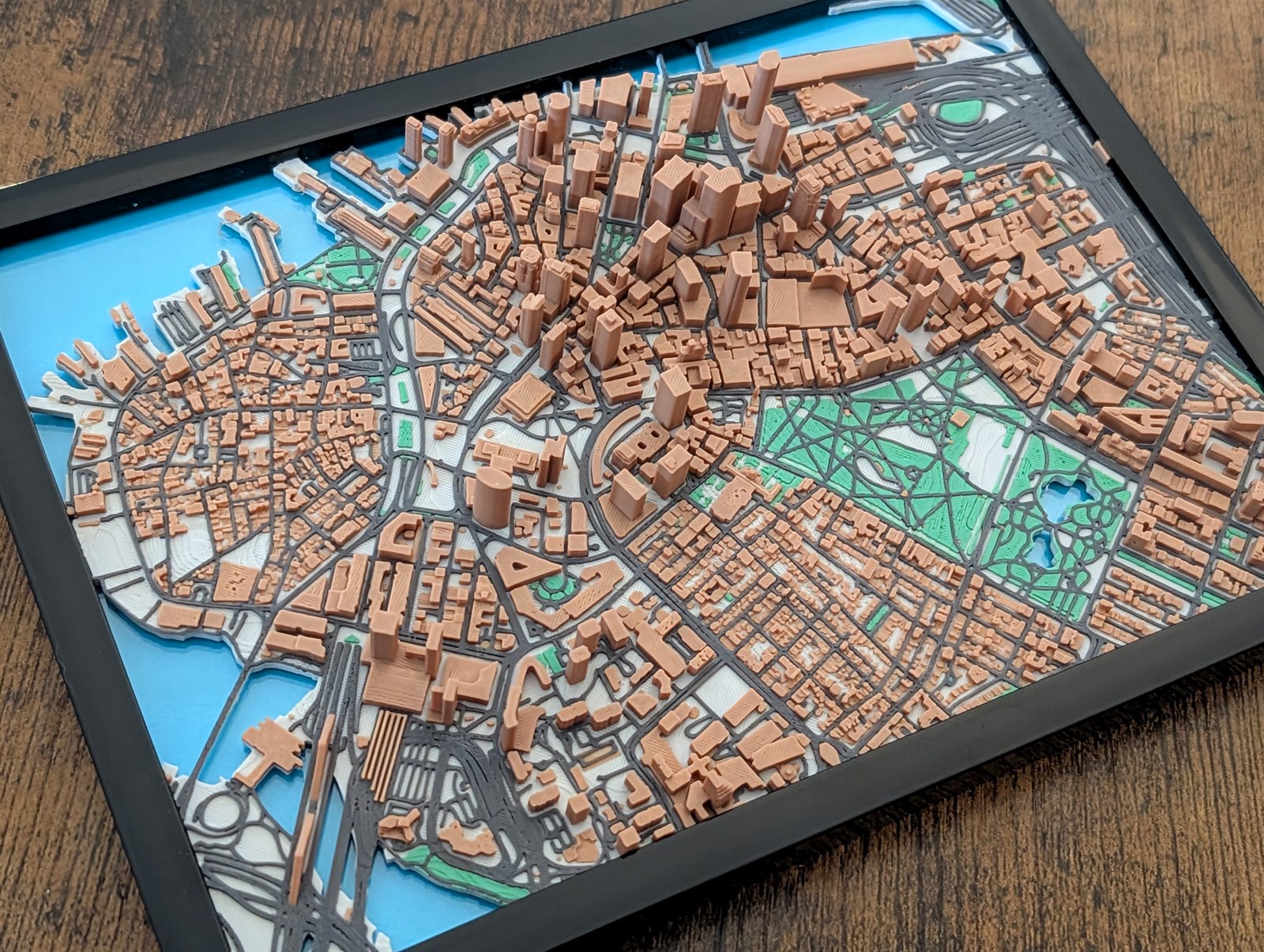
Hand-designed Jarvizar Boston map, created before 3D Map Creator.
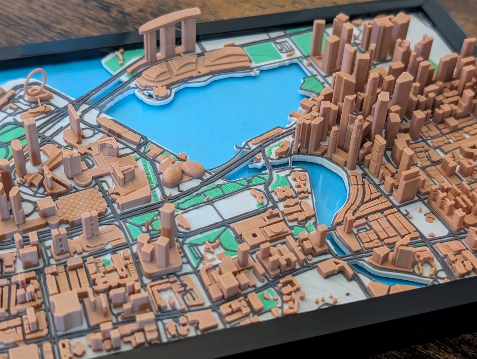
Hand-designed Jarvizar Singapore map, created before 3D Map Creator.
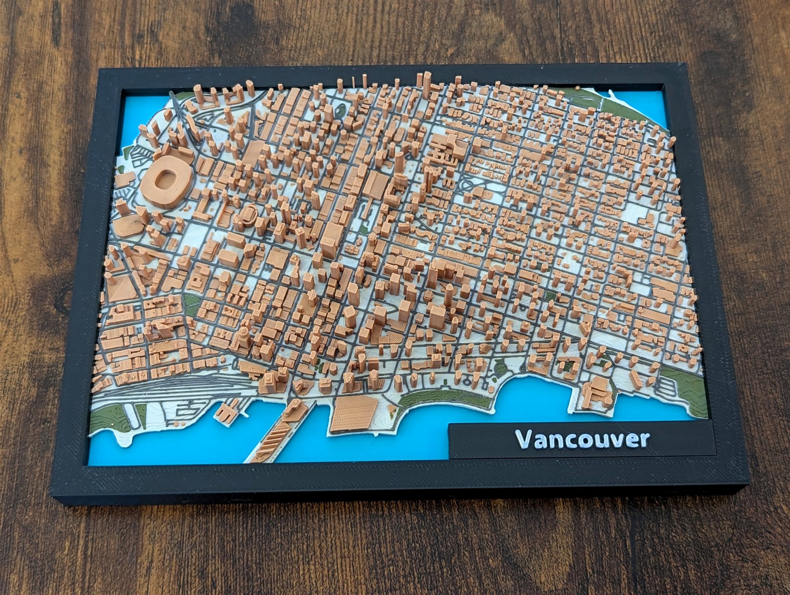
Hand-designed Jarvizar Vancouver map, created before 3D Map Creator.
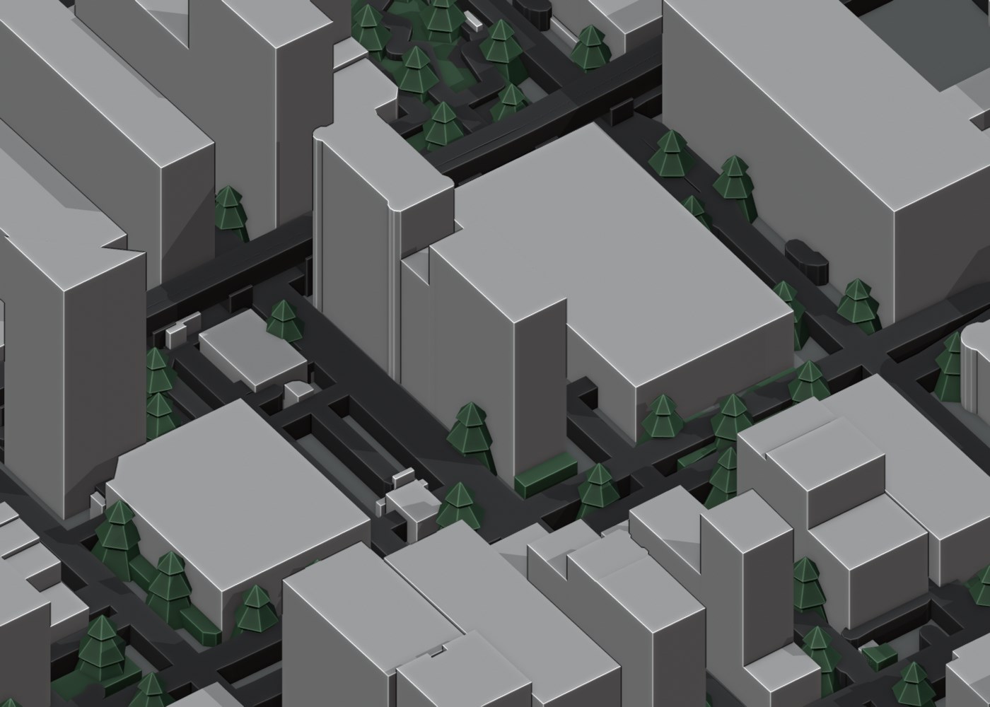
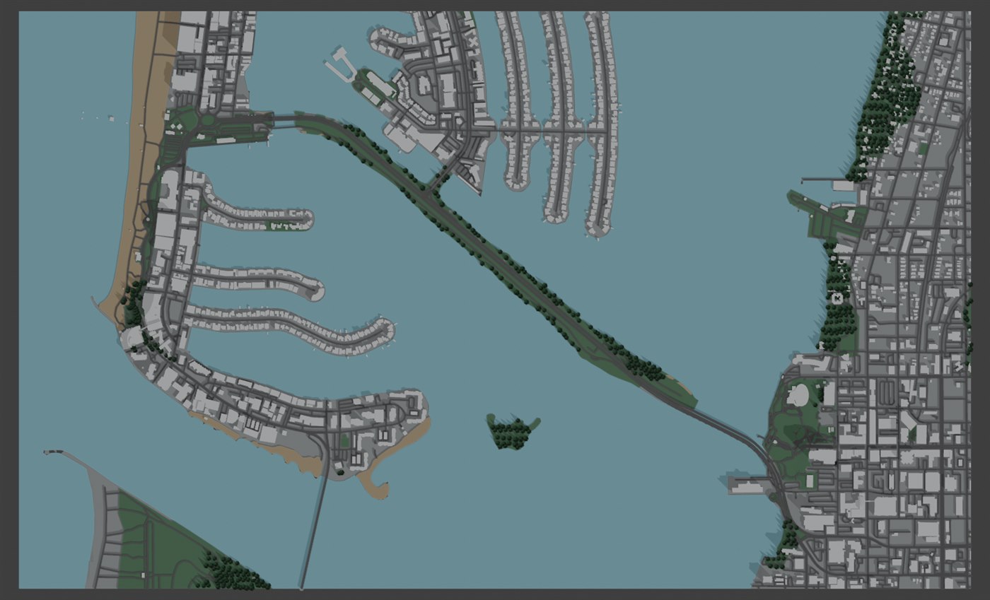
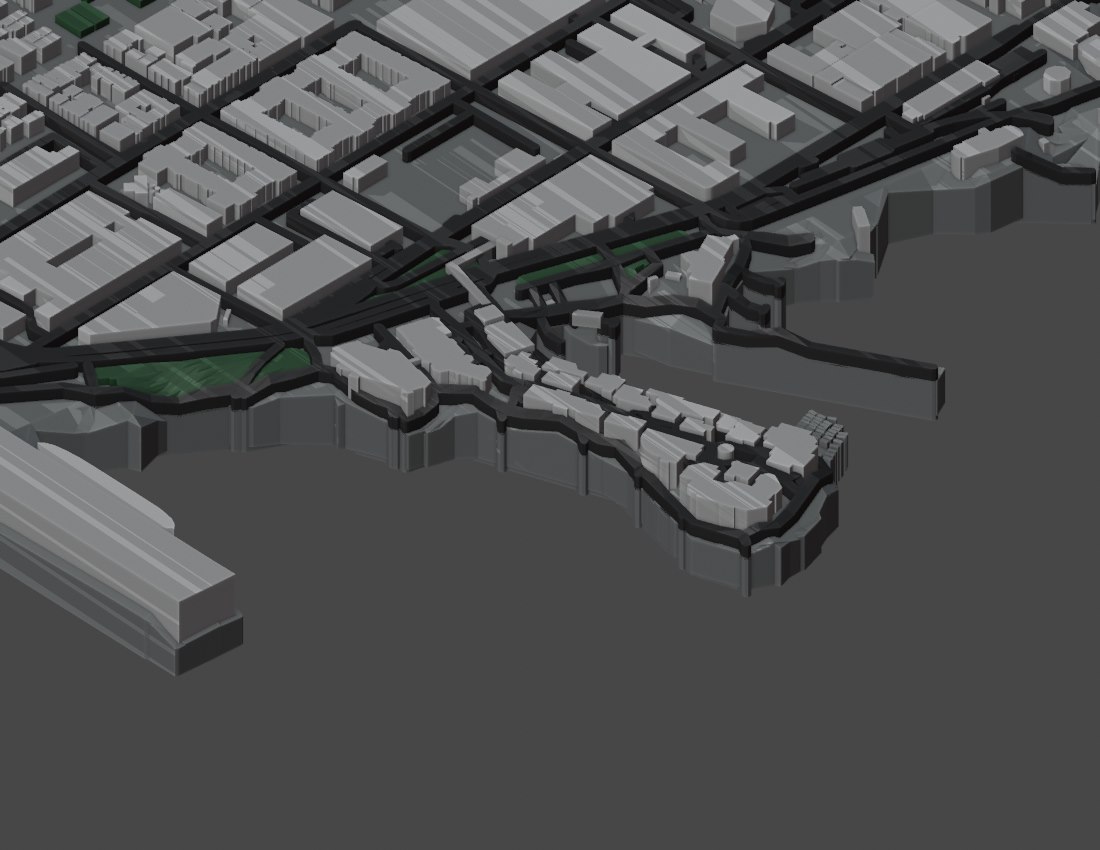
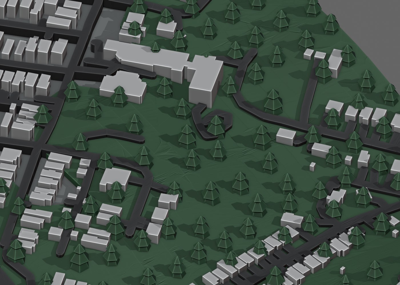
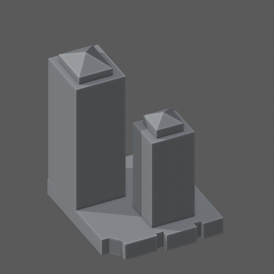
Generated model renders and photos of the earlier hand-designed Jarvizar maps that inspired this tool. Rendered models use map data from Overture Maps.
Project Information
- Name: 3D Map Creator
- Category: Blender Add-on
- Output: STL / 3MF
- GitHub Repo: github.com/jarvisar/3dmapcreator
About
Inspired by my manually created Jarvizar miniature maps, I began developing this Blender add-on to automate turning geographic data into 3D printable models. My original maps came first, created through a hands-on workflow of data preparation, modeling, cleanup, and print preparation.
3D Map Creator automates the generation of terrain, buildings, roads, bridges, trees, water, and surface details using Overture Maps and elevation data, with optional LiDAR building detail. Models can be exported as STL or 3MF for multicolor 3D printing.