Project Information
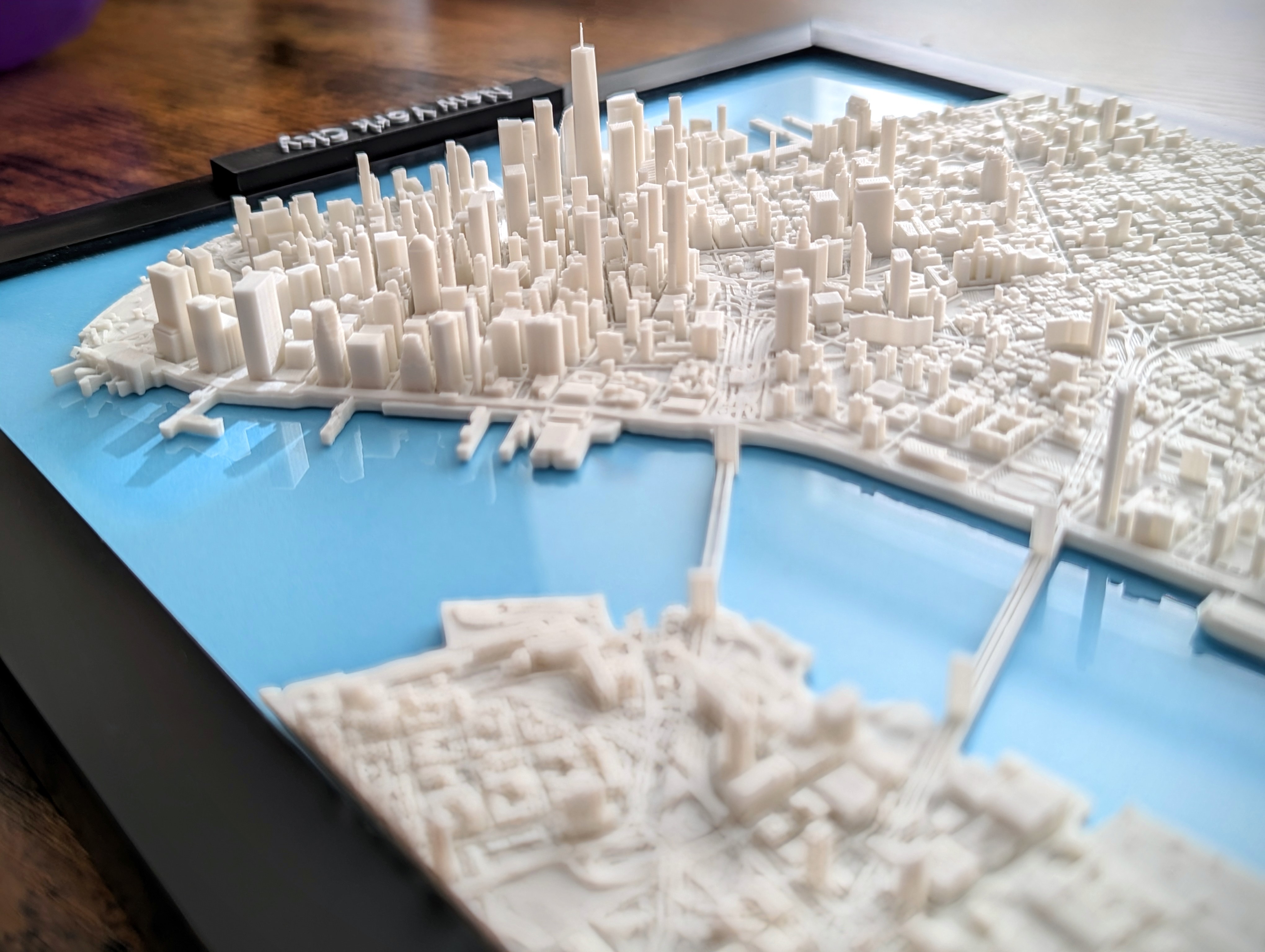
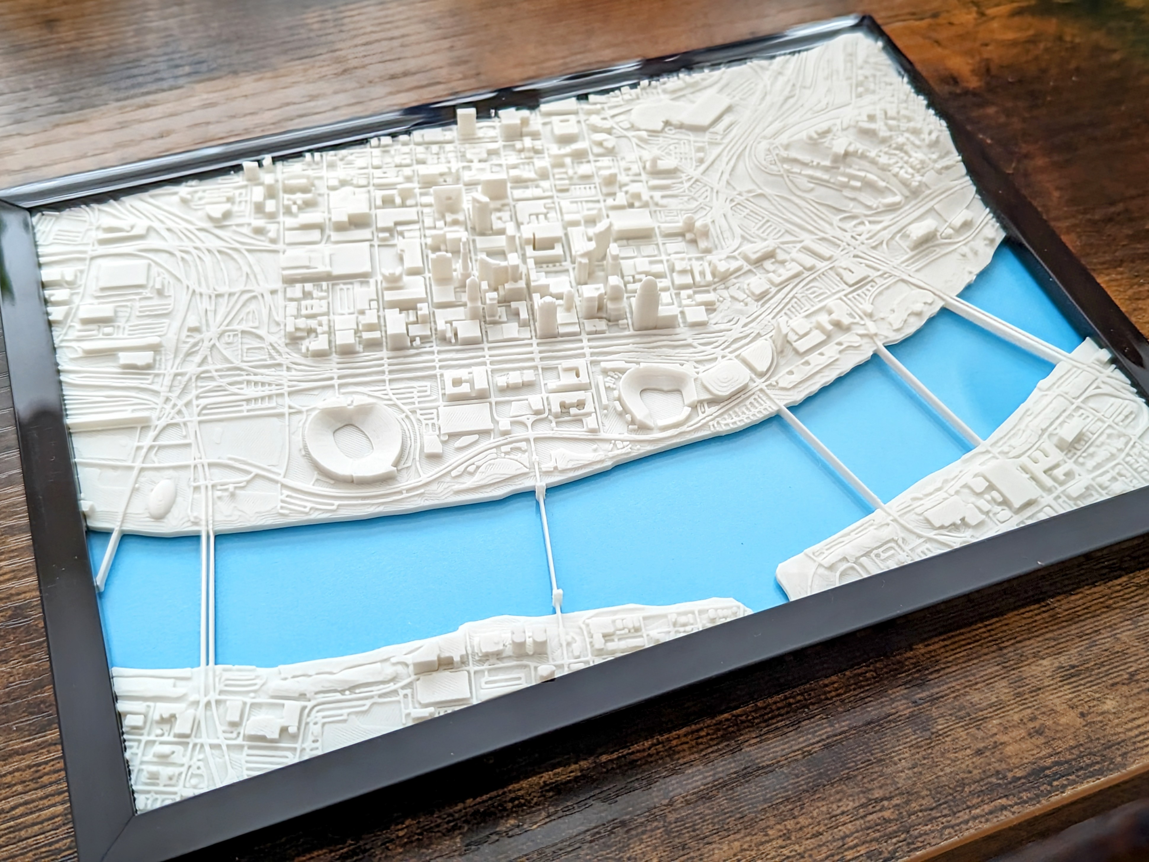
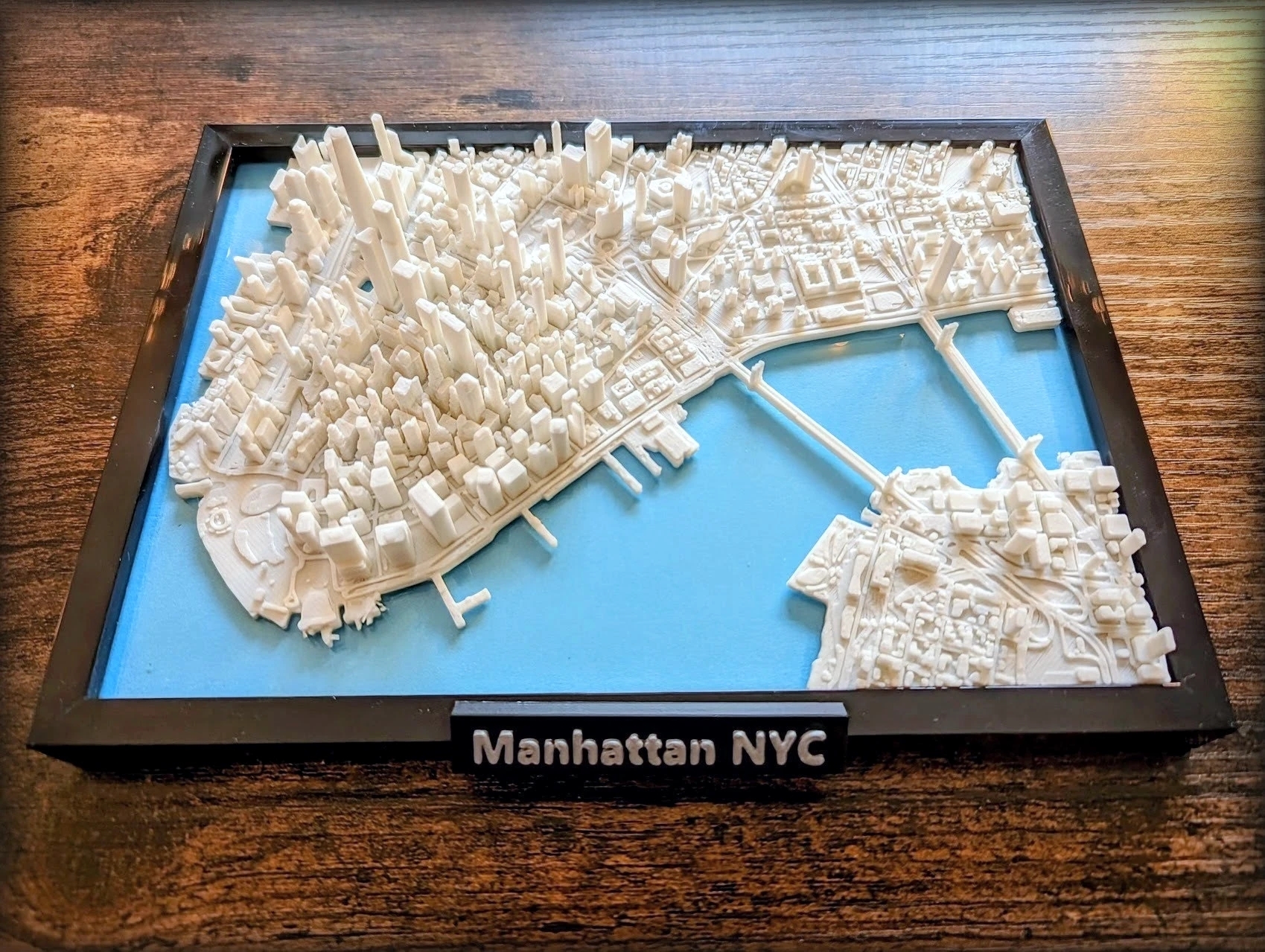
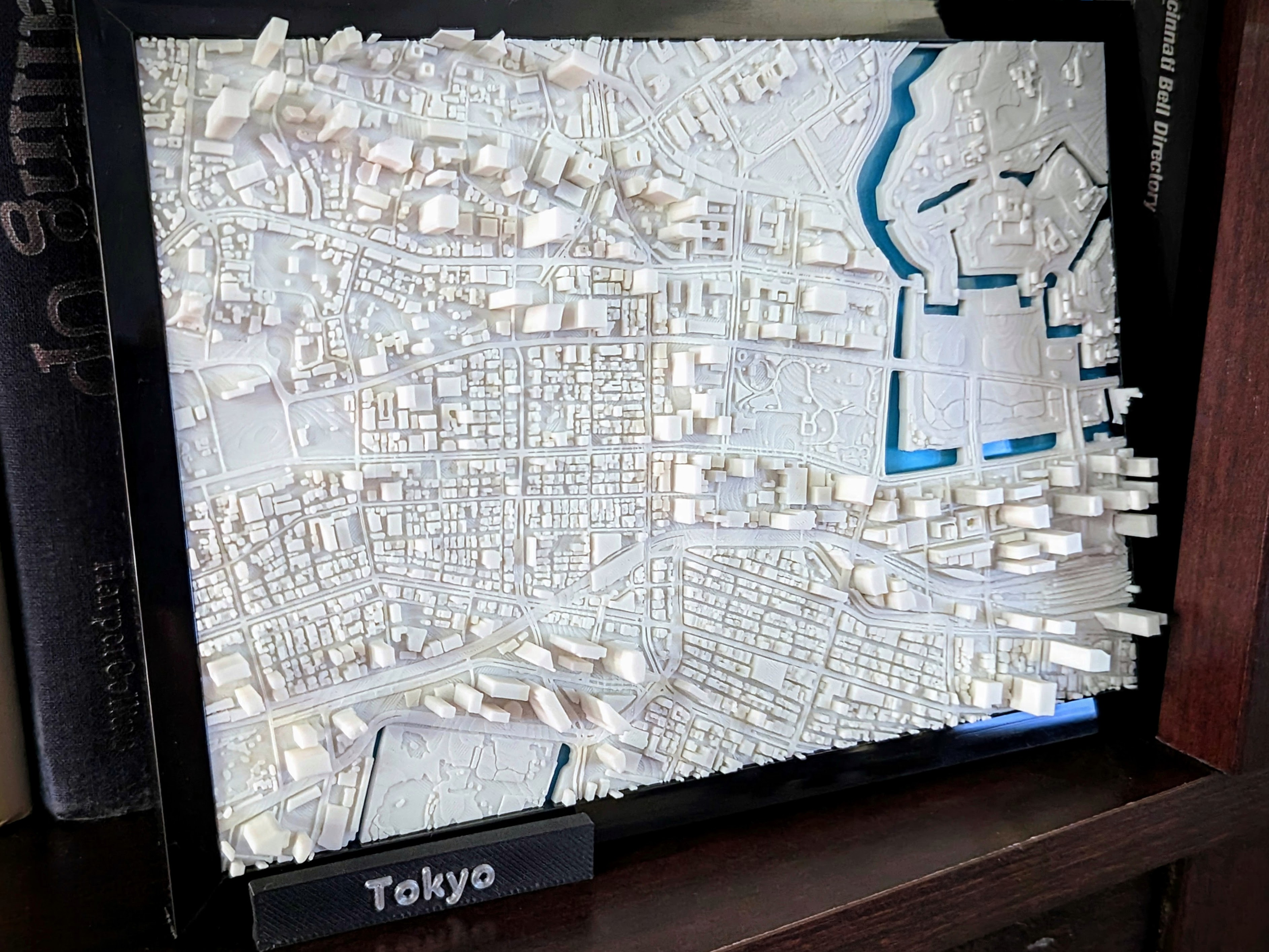
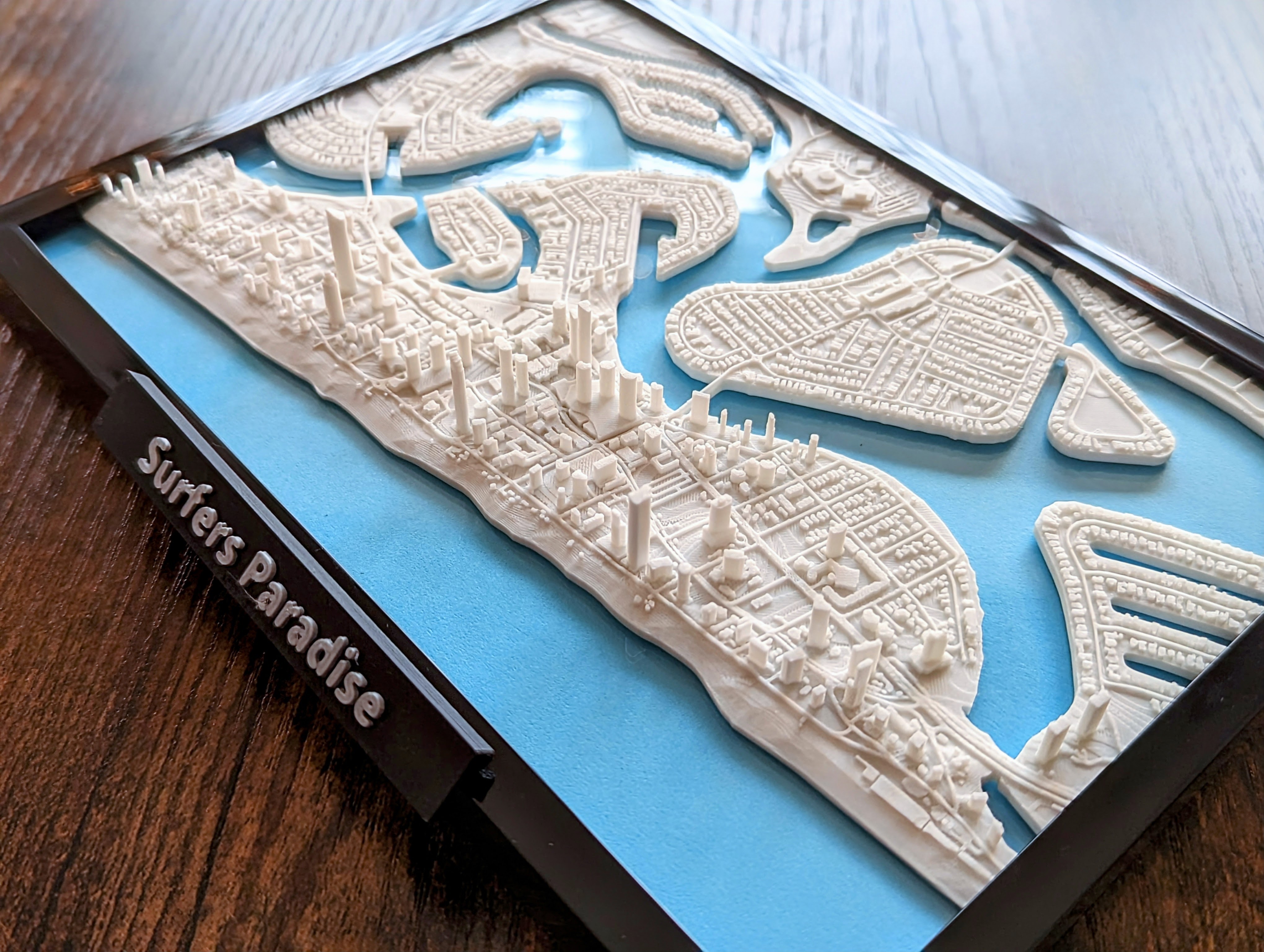
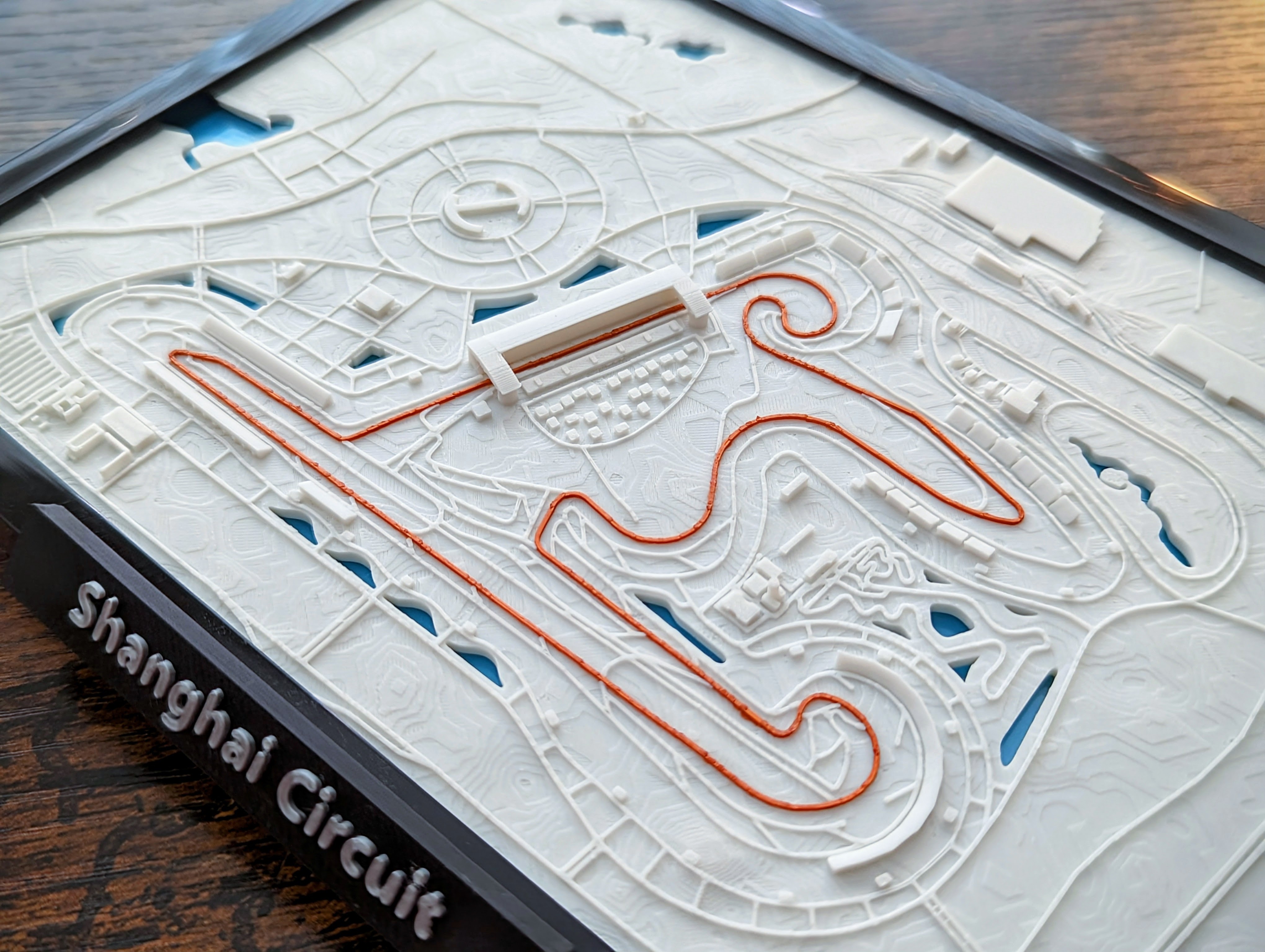
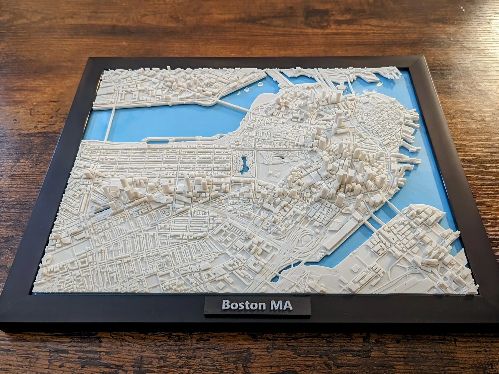
- Name: 3D Printed Miniature Cities
- Category: 3D Modeling & Manufacturing
- Printables: https://www.printables.com/@jarvizar
- MakerWorld: https://makerworld.com/en/@jarvizar
About
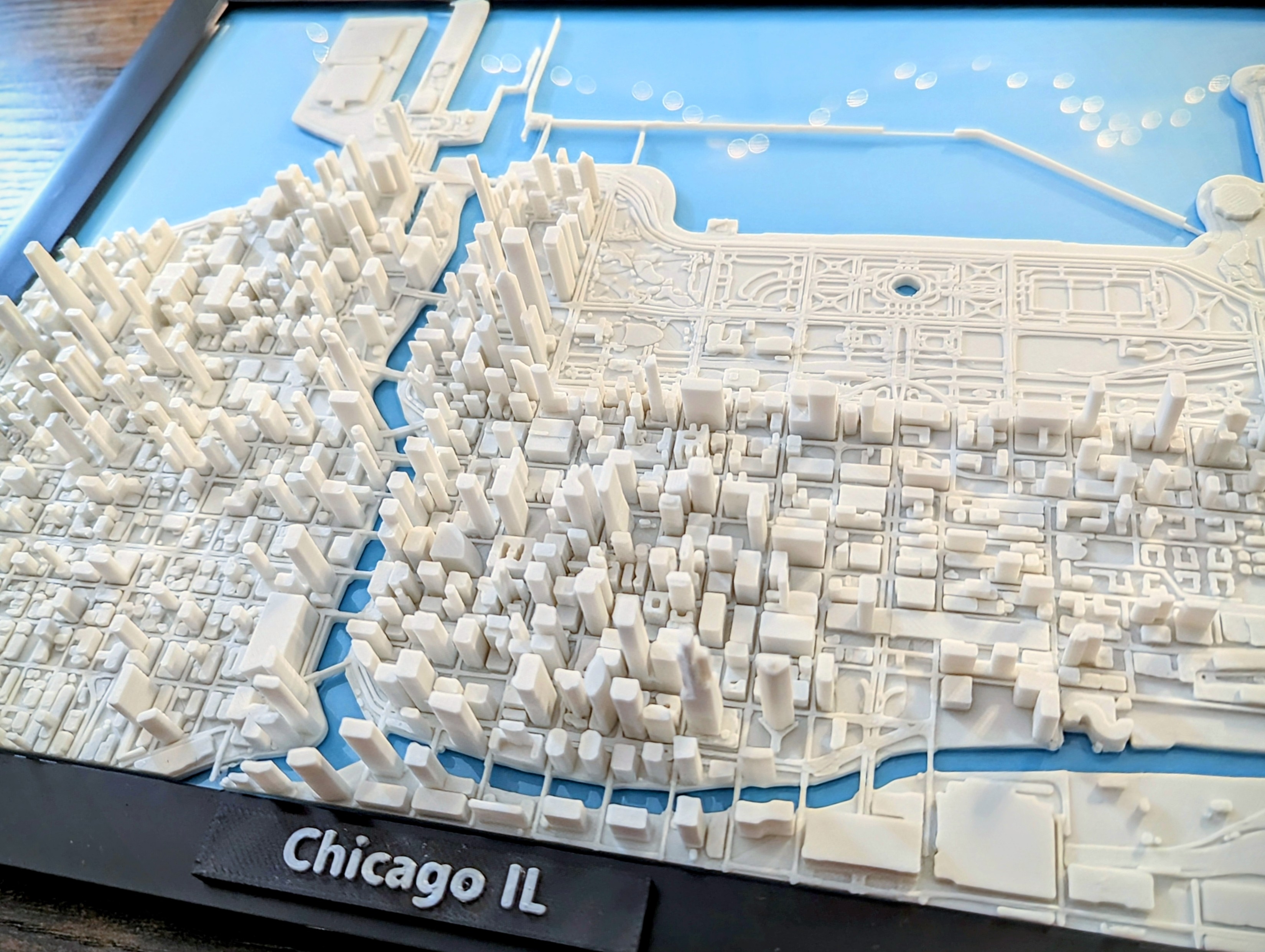
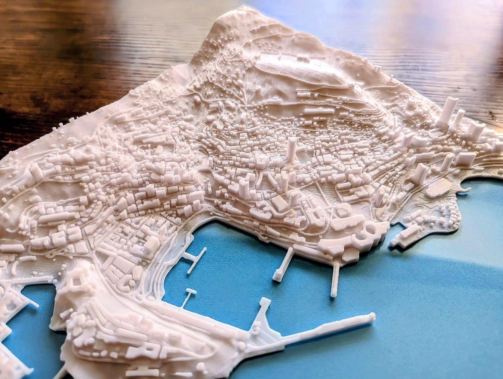
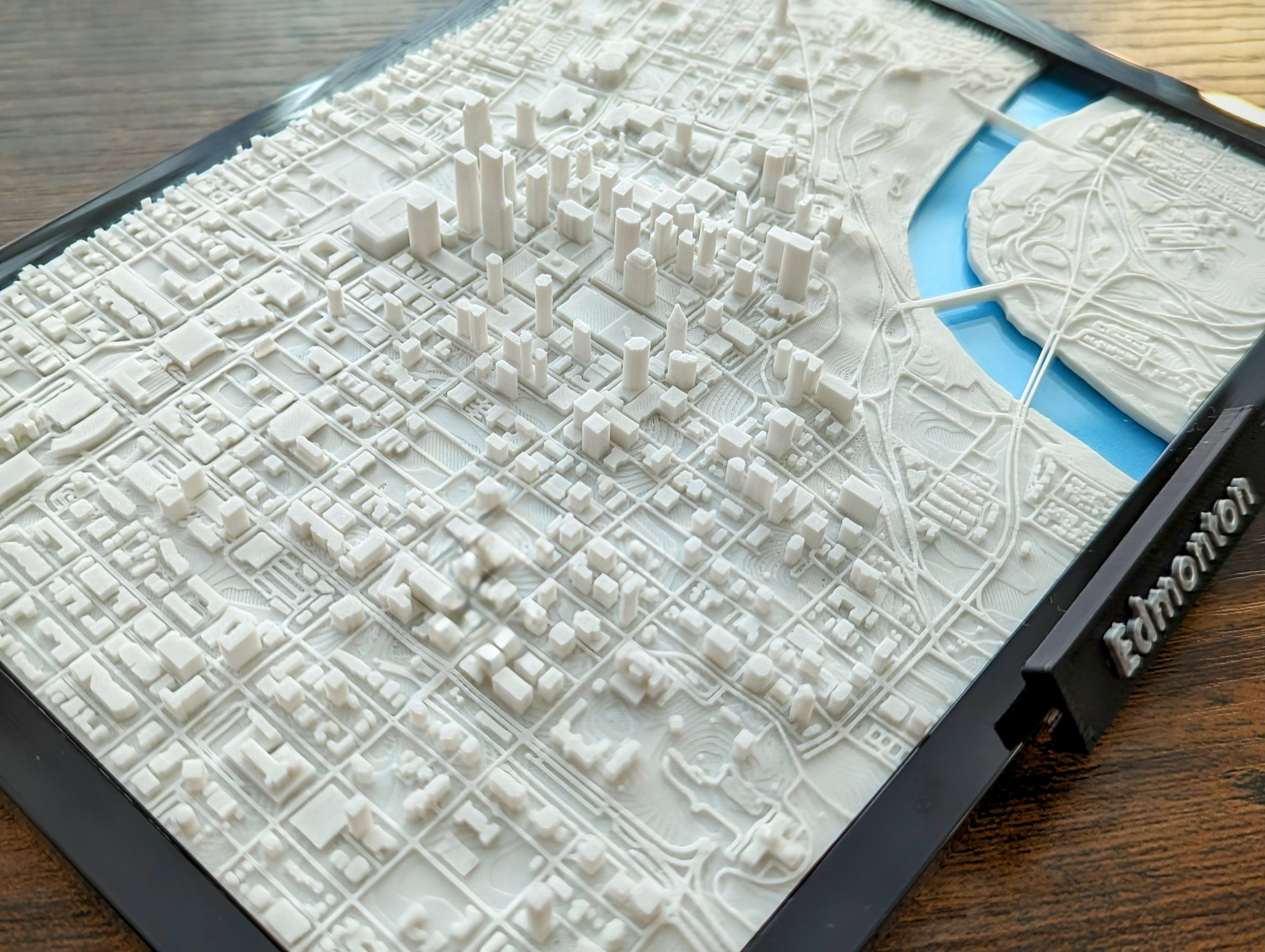
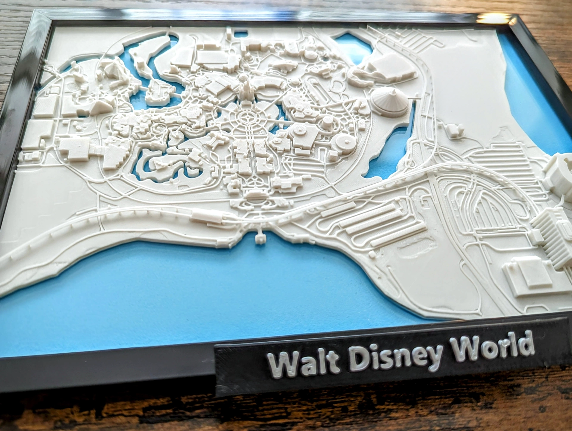
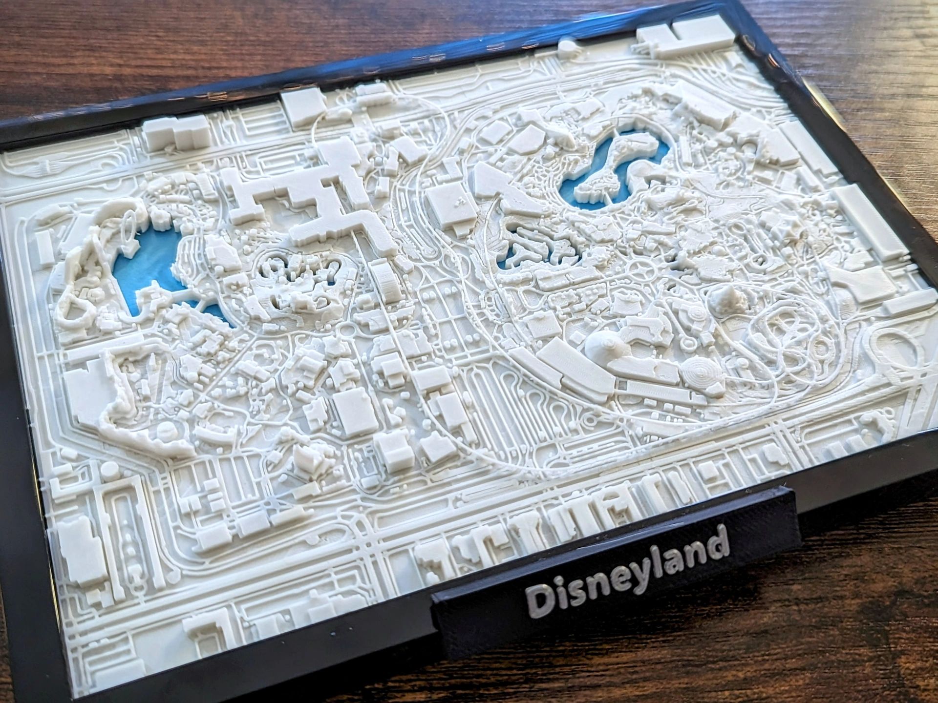
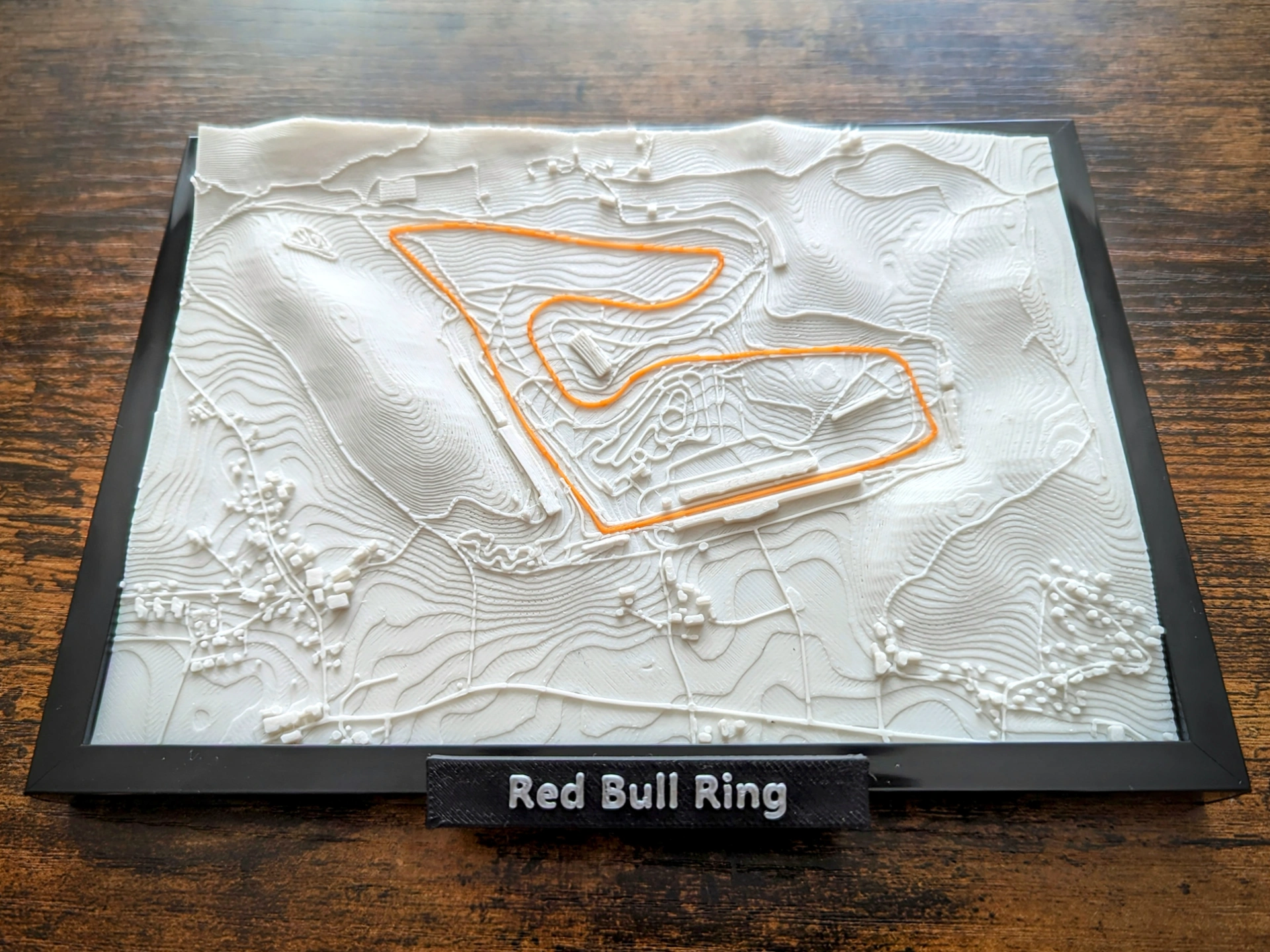
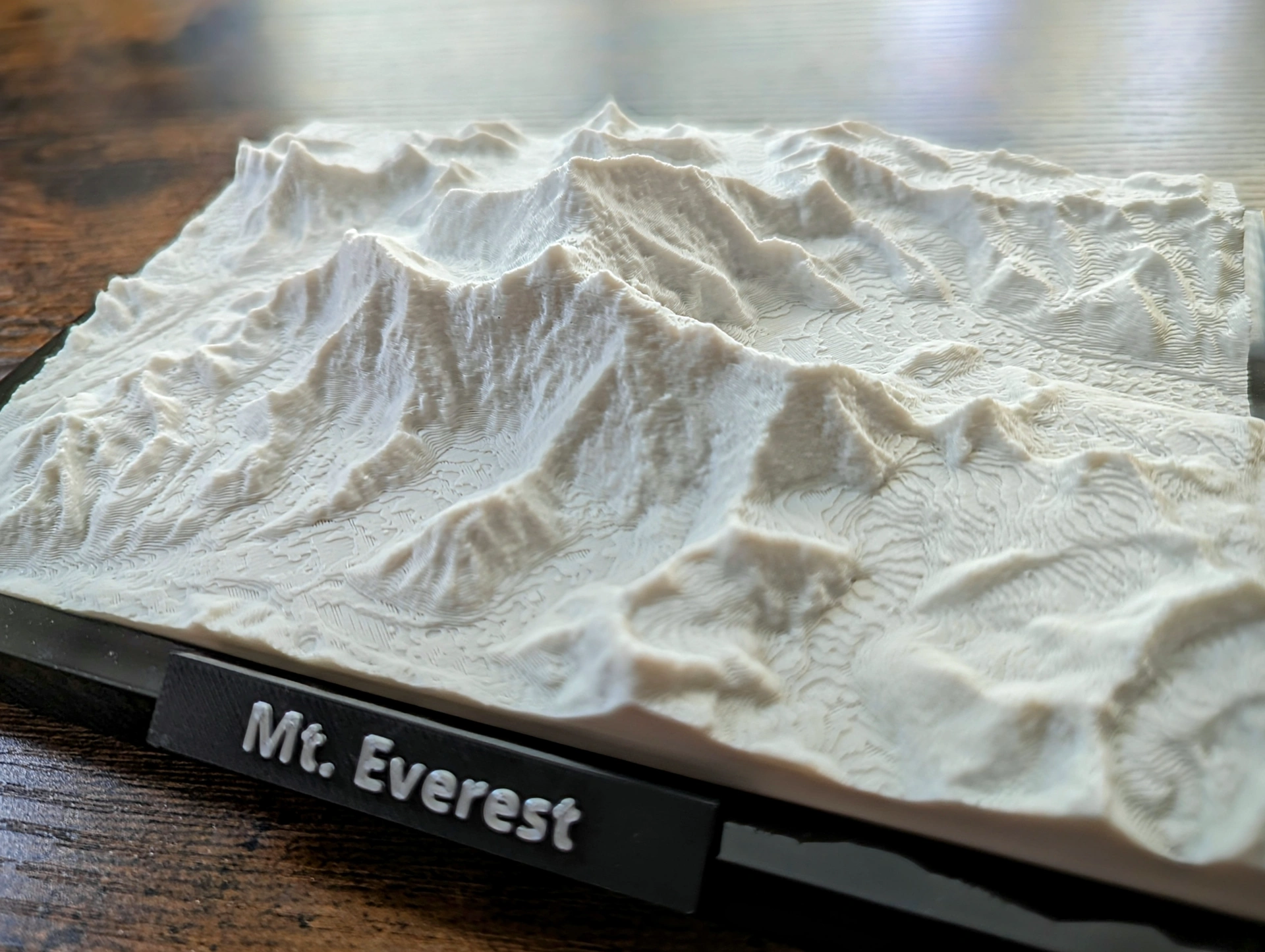
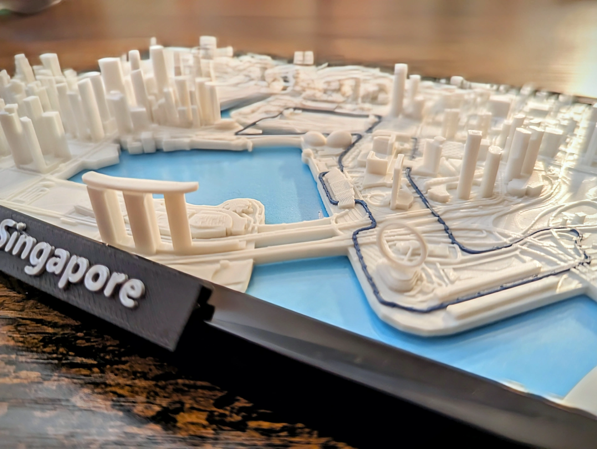
I manually design and publish detailed miniature maps under the Jarvizar name. Each model follows a hands-on workflow using QGIS, Blender, SolidWorks, and Inkscape, from geographic data preparation and modeling to cleanup and print preparation. I add missing features, correct inaccuracies, and refine the geometry for 3D printing.
Creating these maps by hand inspired me to later build 3D Map Creator, a Blender add-on that automates much of that process. The Jarvizar miniature-map collection came first.
Download the models from my Printables and MakerWorld profiles above.